Basque Country Map
Where is the Basque Country? Situated in the north-eastern corner of the Iberian Peninsula, it’s bordered by Cantabria to the west, La Rioja to the south, and Navarra – and France – to the east. The region is divided into two geographical areas: Atlantic, to the north, with the rugged coastline and verdant, green countryside; then, separating the two areas, are mountains; and Mediterranean, to the south extending as far as the Ebro basin, where the land is flatter and drier.
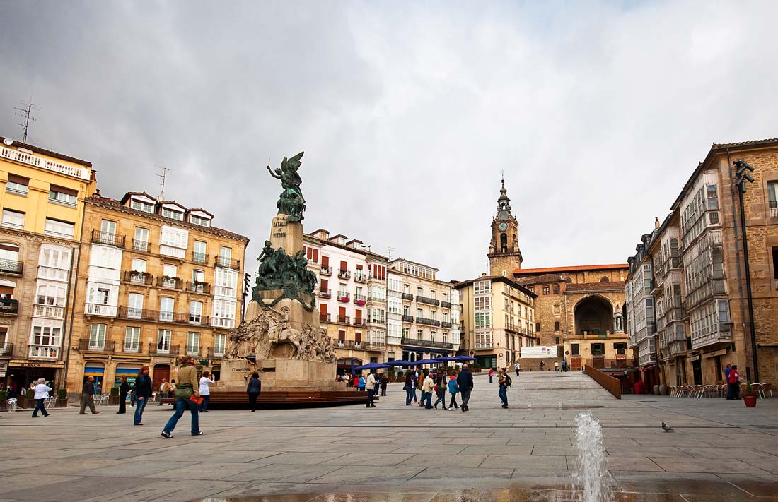
The three provincial capitals are Bilbao (Vizcaya province), San Sebastian (Guipuzcoa) and Vitoria (Alava).
Bilbao is in the north-west corner, just inland on the river Nervion. Going east from the city, the coast is mountainous with high cliffs, but there are also beaches with some great surfing. This region of the Basque Country is called Vizcaya (Biscay in English, as in the Bay of Biscay).
Backing the narrow stretch of land which lies along the coast, overlooking the Bay of Biscay, is a mountain range. The highest peak is Aitxuri (1551m), in the south of Guipuzcoa province.
South from here, on the other side of the mountains, is the Basque Country capital, Vitoria; this province is called Alava.
South of Vitoria is the Rioja Alavesa wine region, with arid, sunny plains. On the south-eastern fringes of Alava, where it borders Navarra, is the semi-desert of the Bardenas Reales.
San Sebastián is in the north-east corner of Guipuzcoa province. The coastline in this part of the Basque Country, west of San Sebastian, is more dramatic, with steep cliffs and few beaches.
Tempted by our Basque Country Map? Find out more about the region with Gaursa Rent a Car.